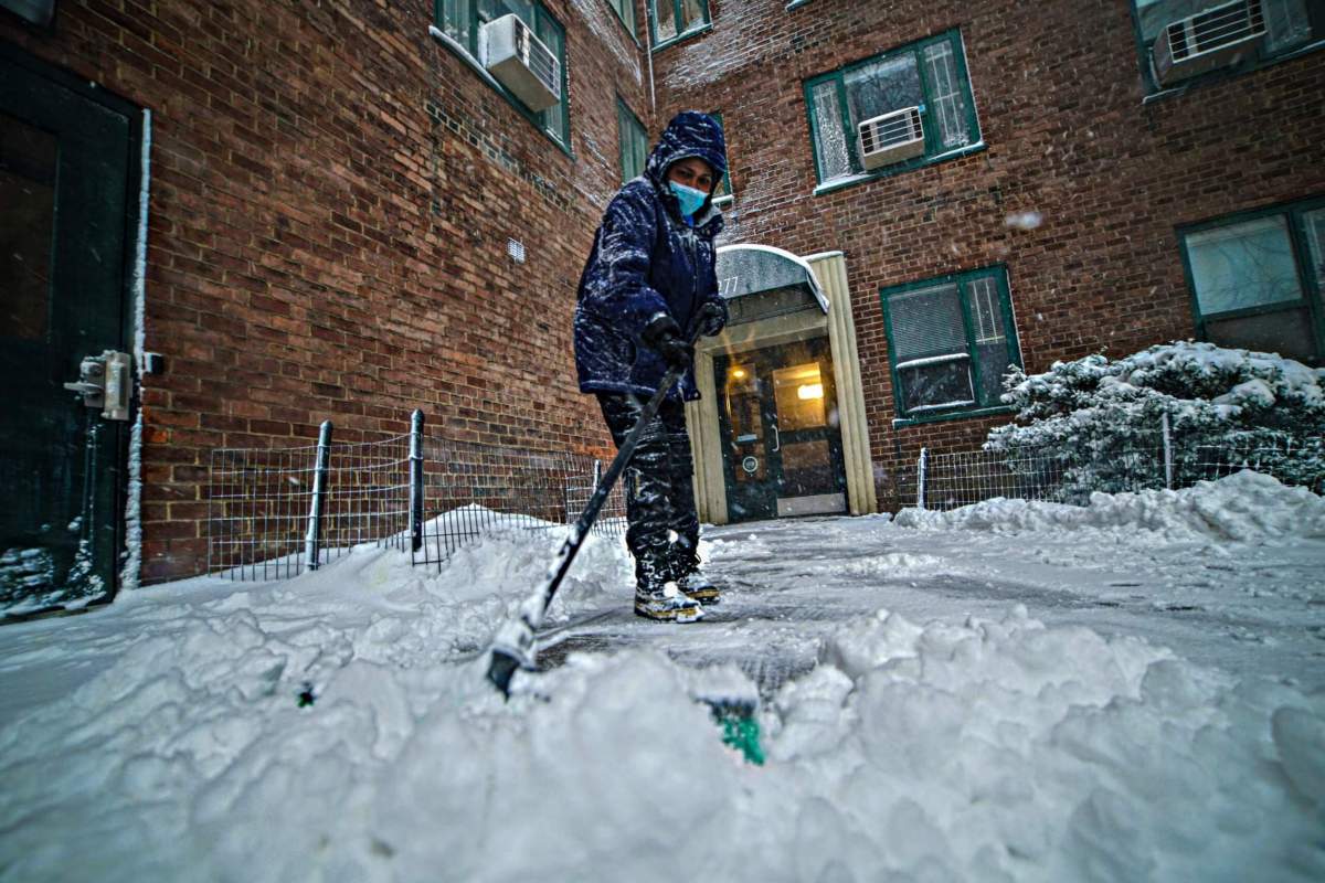
New York City’s 700-day snowless streak could finally snap by Tuesday as an approaching front is forecast to bring up to 4 inches of the white stuff to the area.
The five boroughs are under a winter weather advisory from the National Weather Service (NWS) from 8 p.m. Monday until 1 p.m. Tuesday. Light snow is expected to develop Monday night and continue until Tuesday morning, when it will turn over to a freezing drizzle or light rain.
Conditions will be ideal for snow. Temperatures will fall to the upper 20s tonight. Most of the city could have up to 2 inches of snow on the ground by daybreak Tuesday, according to the city’s Emergency Management department.
How much snow are we getting (if any)?
The system itself is not predicted to be a heavy snowmaker. The National Weather Service expects just 1 to 4 inches of snow across the city; at its peak, the heaviest snowfall rates will be up to 0.5 inches per hour. There’s a risk, however, of the fallen snow being covered with a glaze of ice by Tuesday morning when the storm begins changing over to light rain.
Because temperatures tomorrow will hover around the freezing point, there is potential for freezing rain and ice accumulation during the day, the Emergency Management department reported. There may be a point in which rain/ice will turn back to light snow before the precipitation clears out Tuesday afternoon between 2 and 4 p.m.
City prepared for wintry weather
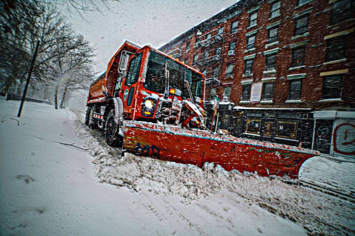
The city’s Sanitation Department issued a snow alert from 6 p.m. Monday through 7 p.m. Tuesday. The agency is mobilizing its fleet of nearly 800 salt spreaders to keep the roads clear; it has also begun brining high-use roadways and other streets prone to icing to guard against freezing.
Additionally, if 2 inches of “plowable snow” has fallen on the streets, the Sanitation Department will additionally deploy more than 2,000 collection trucks that will be fitted with front-end snow plows.
Emergency Management has issued a travel advisory for the Five Boroughs through Tuesday afternoon. Roads will be slick for the Tuesday morning commute, so the city advises all residents to take it slow whether walking, biking or driving, and to allow extra travel time. Check with the MTA for updates on potential weather-related delays in public transit.
Meanwhile, the city’s Department of Transportation suspended alternate-side parking rules Tuesday to give drivers an extra incentive to leave their cars at home. But if you’re parked at a paid spot, you’ll still need to feed the meters.
Historic snowfall, regardless of small size
While this doesn’t figure to be the storm of the century, by any stretch, it nonetheless would be an historic weather event for the Big Apple — as it would end a nearly two-year snow drought amid climate change.
Sunday marked exactly 700 days since at least an inch of snow last accumulated on New York City ground, dating all the way back in February 2022, meaning the city’s children have gone a winter-and-a-half without sledding or building a snowman. That’s the city’s longest snowless streak since 1869, when record-keeping began.
A landmark study published last week found a link between lack of snowfall in the northeast and climate change, suggesting snow will become even more of a rarity going forward in the Big Apple, which was recently reclassified as a “humid subtropical” climate.
The Hudson River basin has recently experienced some of the most dramatic declines in snowpack of any of the nation’s rivers.
Beyond this snowstorm, expect the first real cold snap of the season to take hold of the city. The NWS predicts temperatures won’t get out of the 20s on Wednesday, and will only rise into the low-30s on Thursday. Friday also brings the next chance of snow, though it’s too early to say whether it will be significant.
Stay tuned to amNY.com for further weather updates.
Read more: Times Square Ball Gears Up for 2023 New Year’s Countdown


