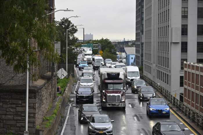
City officials on Wednesday for the first time raised the possibility of capping portions of the Brooklyn-Queens Expressway, utilizing federal dollars meant to bridge communities divided by urban highways.
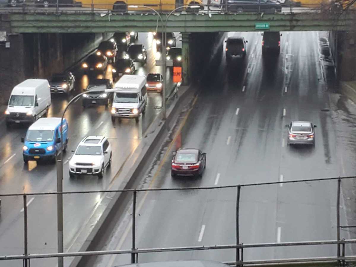
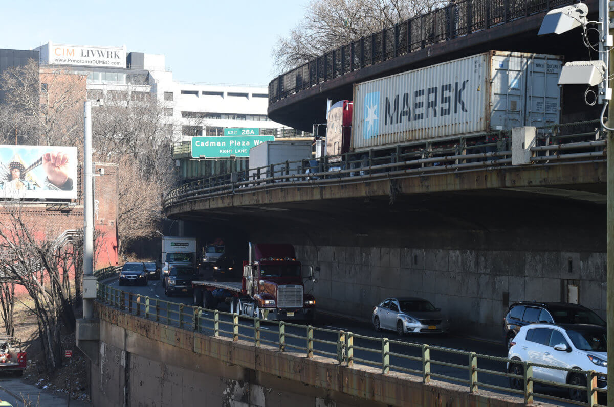
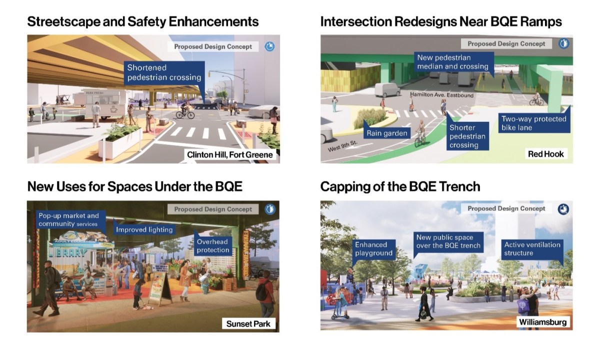
The proposal is in its very earliest stages but could ultimately see parts of the BQE situated in open-cut trenches, like in South Williamsburg, covered up by greenery. Department of Transportation officials said they are studying a cap specifically covering a four-block trench between Borinquen Place and Division Avenue.
“In the long term, a cap could connect with parks and playgrounds, create new public space, and support mitigation of noise and vehicle emissions from the highway in this neighborhood,” said Julie Bero, DOT’s chief strategy officer, in a call with reporters on Wednesday.
The project’s studies are funded with a $5.6 million federal grant through the Reconnecting Communities program. This program aims to reunite neighborhoods separated by the construction of urban highways in the 20th century, as occurred in communities along the BQE corridor. Officials presented no timeline for when the capping might begin.
Other areas of the highway that could see capping are over trenches in Cobble Hill or Bay Ridge, said Bero. The city is also studying capping parts of the Cross Bronx Expressway, which, like the BQE, was constructed by “Master Builder” Robert Moses in the mid-20th century and displaced thousands of residents. DOT is set to unveil capping “concepts” at a series of workshops later this month.
Officials also discussed other proposals for beautifying the corridor and making more use of the space under the highway’s elevated portions, such as space for bike parking and e-bike charging or public space for vendors and markets.
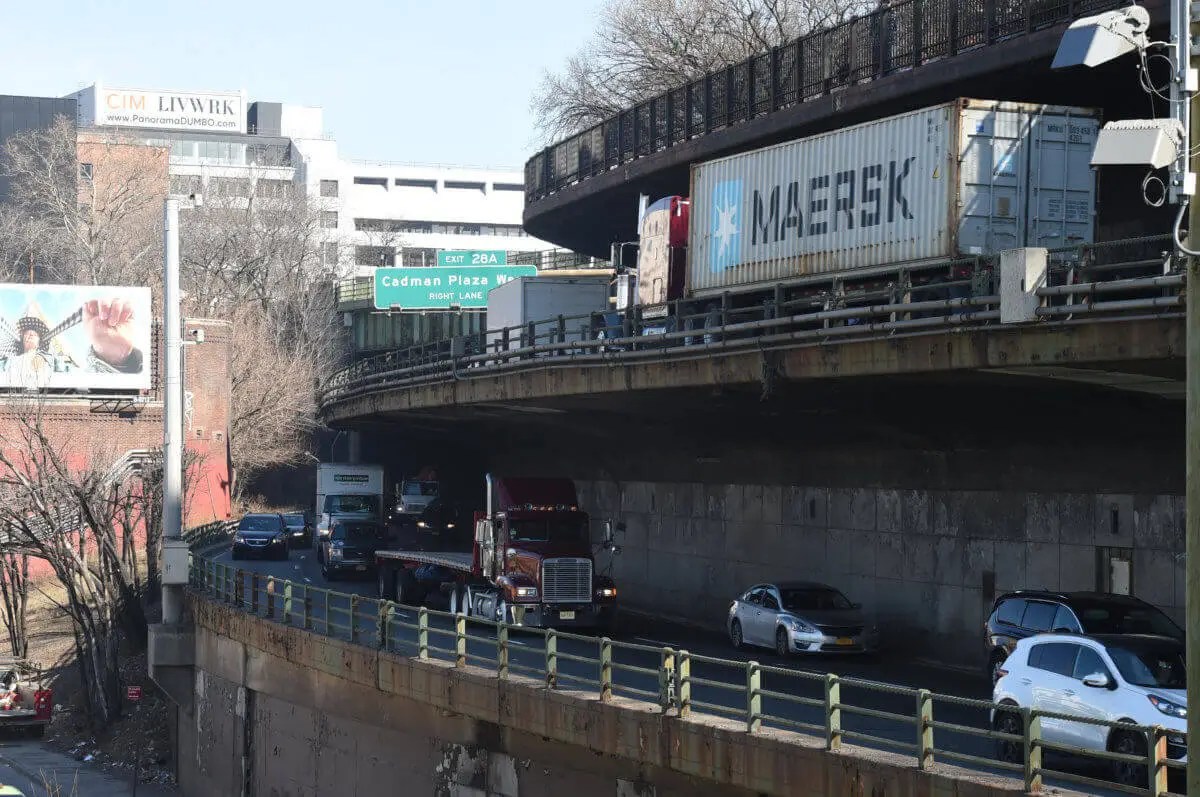
The news comes as the city is in the midst of “reimagining” the infamous “triple cantilever” section of the BQE in Brooklyn Heights, which for years has been considered at risk of collapse. Proposals to repair or reconstruct the cantilever also call for covering up the unsightly highway with greenspace to reconnect Brooklyn Heights with the East River waterfront. Earlier this year, the city’s grant applications were rejected, pushing major work back to the tail end of the 2020s.
Any work north or south of the city-owned section, which includes the cantilever, requires collaboration with the state DOT, which owns the rest of the highway.
“The City and State are partnering on a conceptual planning study to evaluate and develop potential options for the north and south portions of the BQE, with the final outcome bringing potential options forward to conceptual design,” said state DOT spokesperson Joseph Morrissey. “We appreciate the collaboration and ideas that this study has generated, but it is too early in the process to define which conceptual proposals will move forward for further study and evaluation.”
Read More: https://www.amny.com/nyc-transit/
