BY KEVIN DUGGAN
City transit honchos plan to install 10 miles of protected bike lanes throughout Brooklyn this year after the borough suffered a bloody 2019, when more cyclists died in Kings County than in the four other boroughs combined, officials announced at a press conference on Wednesday.
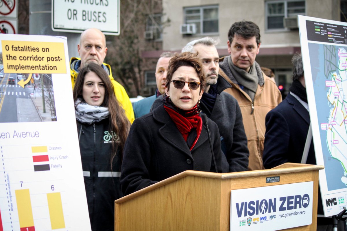
“Brooklyn had a tough year for Vision Zero in 2019, so that is why we are here at the base of the Brooklyn Bridge to announce our plans for protected bike lanes in this new year,” said Department of Transportation Commissioner Polly Trottenberg in a statement.
At the early morning press event in Downtown Brooklyn, transit officials listed off the roadways that will be enhanced with green-painted cycling paths and protective barriers, which include:
- Fourth Avenue from First Street to Atlantic Avenue, which will connect to the existing lane south from First Street to 38th Street.
- Flatbush Avenue from Grand Army Plaza to Empire Boulevard.
- Fort Hamilton Parkway between the Prospect Expressway and McDonald Avenue.
- The Franklin Street Greenway project (its pluses and minuses were covered here) Quay to N. 14th streets
- Meeker Avenue’s two-way path from the Williamsburg Bridge to the newly-opened Kosciuszko Bridge bike path
- Navy Street between Flushing Avenue and Sands Street.
- Remsen Avenue between Canarsie Park and Foster Avenue.
- Smith Street from Atlantic Avenue to Fulton Street.
The green bike lanes will be demarcated with paint, and separated from traffic by one of several types of barrier, including rows of parked cars, concrete barriers, or floppy sheets of plastic the agency calls “vertical delineators,” according to spokesman for the agency Brian Zumhagen.
The plan also calls for the elimination of 300 parking spots, according to a department spokesman.
The 10-mile plan in Brooklyn, which was first reported by Streetsblog makes up one third of the 30 miles of bike lanes that the agency wants to install citywide this year as part of Mayor Bill de Blasio’s $58.4 million Green Wave plan to open 80 miles of protected cycling paths by the time he leaves office in 2021.
The safer-street push comes after motorists fatally struck 29 cyclists citywide in 2019, including 18 in Brooklyn — compared with just 10 citywide, and two in Brooklyn, throughout 2018.
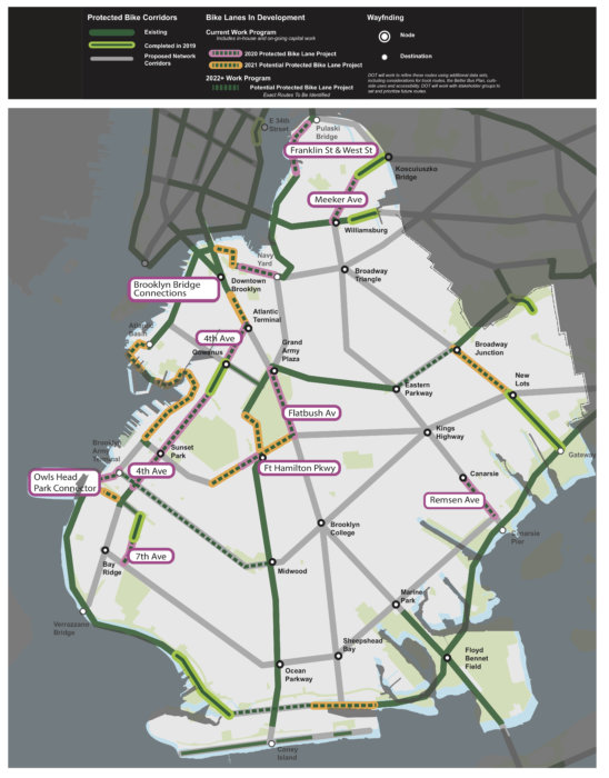
The Transportation Department released a map showing potential routes that it wants to tackle in 2021 — which include closing the loop around Brooklyn’s Backyard at Prospect Park Southwest, a stretch around the Red Hook, Gowanus, Greenwood Heights waterfront, an extension of Flatbush Avenue from Downtown Brooklyn to Fourth Avenue, a connection to the Manhattan Bridge, along with spans in East New York, Sheepshead Bay, and Bay Ridge.
For 2022 and beyond, the agency hopes to expand the network of protected lanes with a route jutting west from Ocean Parkway through Borough Park to Brooklyn Army Terminal, a route connecting east from Eastern Parkway to Broadway Junction, and another span connecting along the Belt Parkway from Sheepshead Bay through to Gravesend.
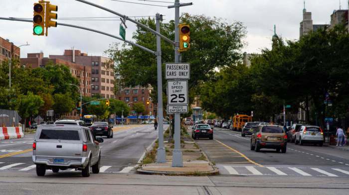
Trottenberg also touted the success of the department’s two-way bike lane along a one-mile stretch of Gerritsen Avenue south of Avenue X, where four people died from speeding-related crashes between 2007 and 2016.
Beginning in 2017, the agency added a two-way protected bike lane, pedestrian refuge islands, bus stops, and enhanced pedestrian crossings to the dangerous stretch of road — and there have been no deaths, and a 54-percent drop of annual crashes ever since, according to the department’s figures.
Several of the proposed redesigns — including Fourth Avenue, Flatbush Avenue along the east side of Prospect Park, and Franklin Street at the Williamsburg-Greenpoint border — were previously reported by Brooklyn Paper.
This story first appeared on brooklynpaper.com.
