Get ready to bundle up and stay dry, New Yorkers — a winter storm is heading our way.
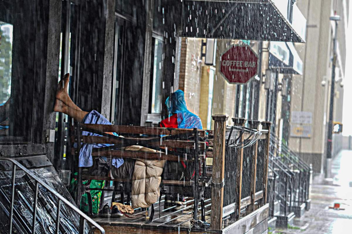
The New York City Emergency Management Department issued a travel advisory for the afternoon of Dec. 22 through Friday, Dec. 23. Rain will move through the city during the afternoon of Dec. 22 with periods of heavy rainfall likely taking place throughout the evening. There may be a brief lull in the morning on Dec. 23 before increasing again during an approaching cold front.
There is also a possibility of thunderstorms with lightning late Friday morning, though the rain will end quickly with the passage of the cold front in the early afternoon. A total of 1.5 to 2.5 inches of rain is expected with max rates around 0.5 inches per hour. Flash flooding is not anticipated, but widespread urban poor drainage and nuisance flooding is likely. Snow showers may then develop in the wake of the front Friday afternoon, but while little to no accumulation is expected, however, flash freezes will be possible on roadways.
Temperatures are expected to drop 10 to 15 degrees over a one to two-hour period when the cold front moves through the area. The temperature is expected to continue to fall overnight with a nearly 40-degree swing expected from Friday afternoon to Saturday morning with wind chills nearing zero. Black ice may form in areas with standing water as temperatures decrease.
“New York City is expecting several hazards with the incoming storm including high winds, heavy rain, cold temperatures, and coastal flooding. Prepare ahead of the holiday weekend,” said NYC Emergency Management Commissioner Zach Iscol. “Heavy rain in addition to a high tide will also bring moderate to major coastal flooding. We urge coastal residents to take steps to protect their property ahead of Friday morning’s high tide.”
A Coastal Flood Warning is in effect for southern Queens for the morning tide on Dec. 23. Due to the storm being combined with a new moon, starting at around 5 a.m., it is expected that the storm will produce moderate to locally major coastal flooding with up to 3 feet of above-ground inundation in Jamaica Bay, with a peak surge between 8 and 9 a.m. and water levels then receding through about 10 a.m. Some of the neighborhoods with the highest risk of flooding include Hamilton Beach, Howard Beach, Broad Channel and the Rockaways.
Coastal Flood Watches will also be in effect on Friday between 6 a.m. and 11 a.m. in Brooklyn, Manhattan, and Staten Island, and for the Bronx and northern Queens between 8 a.m. and 1 p.m. Widespread minor to locally moderate coastal flooding is expected in these areas, with up to 2 feet of above-ground inundation possible, though heavy rainfall coinciding with any of the high tides will exacerbate flooding conditions. On Atlantic-facing shorelines, 10- to 15-foot breaking waves may result in significant dune erosion, overwash, and splashover, resulting in the potential for road closures. Residents in coastal communities should be alert for rising water and take appropriate action to protect life and property.
Additionally, a citywide Wind Advisory will take effect from 10 p.m. on Dec. 22 through 10 p.m. Dec. 23. Winds at speeds of 20 to 30 miles per hour are expected to develop Thursday night with gusts up to 55 miles per hour overnight into Friday. Peak gusts may reach as high as 60 miles per hour mid-day Friday as a strong cold front pushes through the area. Winds will begin to calm down Friday evening and overnight into Saturday, but will remain breezy with gusts up to 30 miles per hour through the weekend.
As a result of the storm, MTA Bridges & Tunnels will be implementing a soft ban on empty tractor-trailers and tandem (piggyback, dual, triple, etc.) trucks starting at 8 p.m. Thursday night to 8 p.m. on Friday. The pedestrian walkways at the Cross Bay and Marine Parkway Bridges will also be closed during this time. The pedestrian walkways at the Robert F. Kennedy and Henry Hudson bridges will remain open weather permitting.
New Yorkers are encouraged to charge their cellphones and any battery-powered objects in the event of a power outage, and to stay inside. Residents should not travel but if you need to, exercise extreme caution. Those in high-flooding areas are encouraged to pack a go-bag in case they need to evacuate quickly, bring objects inside or put away that could be damaged or fly away, and anchor down anything that would be unsafe throughout the storm.
To learn more about what agencies are doing in anticipation of the winter storm visit, NYC.gov/severeweather.
