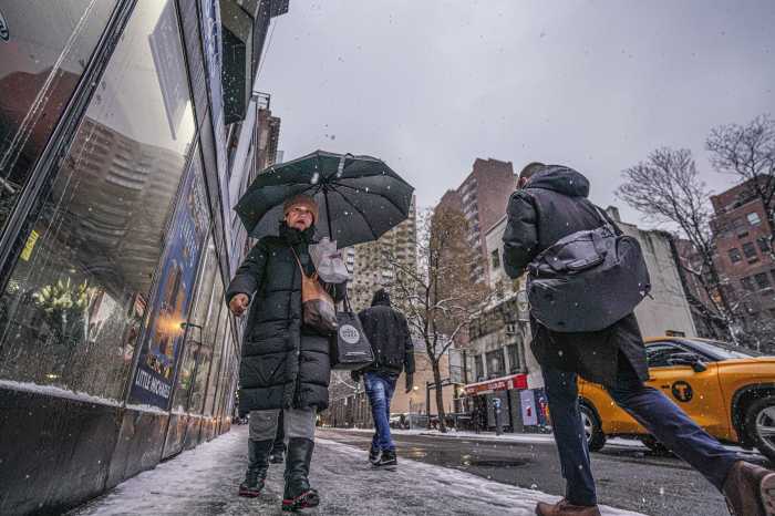
An overnight snowstorm on Saturday delivered surprisingly high snowfall totals in some coastal areas of New York City, according to the National Weather Service (NWS).
It was the second significant snowfall to hit New York City this week, and Saturday’s storm flipped the script on this week’s earlier storm. While Tuesday’s storm saw higher totals north and east of the city, Saturday’s system left Staten Island and southern Brooklyn with higher amounts of the white stuff.
Some of the highest totals were found on Staten Island, where NWS observers recorded 8.6 inches of snow on the ground as of 5:50 a.m. Feb. 17. Nearby Tottenville, the southern-most point of New York City, had 7.8 inches of snow as of 4:50 a.m. Saturday.
But Brooklyn seemed to be the big snow winner Saturday, as a trained NWS spotter recorded a whopping 9.9 inches of snow on the ground in Coney Island as of 6:55 a.m. Another reader in Bay Ridge tallied 7.6 inches of snow as of 5:36 a.m.

Even Kennedy Airport in Queens saw slightly more than a half-foot of the white stuff Saturday, with 6.1 inches of snow recorded as of 7 a.m. Feb. 17. There are a number of weather-related delays, so check with your carrier if you’re flying out of JFK today.
Snowfall totals, however, were far less further north in the city. LaGuardia Airport in Queens, for instance, had just 2.7 inches of snow as of 7 a.m., while Central Park in Manhattan had only 2 inches at the same time.
As for Saturday’s storm, the city’s Sanitation Department has dispatched its fleet of salt spreaders and plows to keep the roadways clear. Alternate-side parking rules are also suspended Saturday, though you’ll still need to feed the meters.


