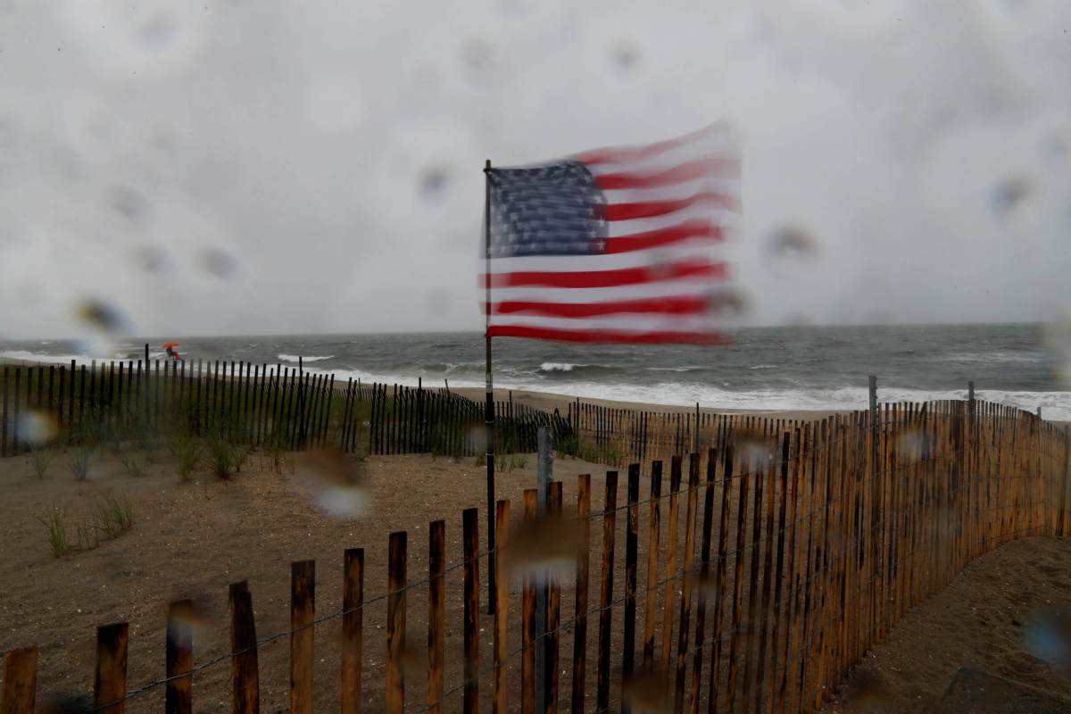
Tropical Storm Henri is churning up the Eastern Seaboard and is expected to graduate to hurricane status later this weekend — prompting parts of New York City to be placed under a tropical storm watch.
As of early Friday morning, Henri sat off the South Carolina coast with maximum sustained winds of 65 mph. Forecast tracks have the storm strengthening into a Category 1 hurricane (minimum winds 74 mph) as it moves northward before eventually colliding with the northeast coastline — either in New England or eastern Long Island — sometime on the afternoon of Aug. 22.
The most recent forecast models have the center of Henri tracking more westward than before, which prompted the National Hurricane Center to put Suffolk County under a hurricane watch Friday. Nassau County was put under a tropical storm watch, and that advisory was extended along the Rockaway Peninsula in Queens down to Sandy Hook, New Jersey.
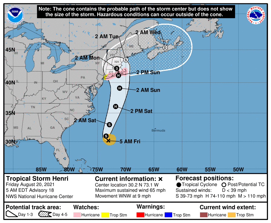
While the brunt of Henri is expected to remain well to the east of New York City, the coastal areas could see tropical storm force winds (39-74 mph) between Saturday evening and Monday morning. Dangerous rip currents and higher tides could begin developing on Saturday.
At this point, the greatest potential for storm surge is expected in eastern Long Island, where wave heights could reach between 8 and 12 feet.
The Five Boroughs could get a soaking from Henri, with rainfall amounts in some spots of up to two inches between Aug. 21-23.
The National Weather Service’s next advisory on Henri is expected later Friday.
Hurricane Watches, Tropical Storm Watches, and Storm Surge Watches have been issued for coastal locations, mainly for Long Island and coastal CT. @NHC_Atlantic has also updated their forecast track. For the latest, stay tuned to our tropical page at https://t.co/h9IaT4ZITH #Henri pic.twitter.com/JGaQ49fIEc
— NWS New York NY (@NWSNewYorkNY) August 20, 2021


